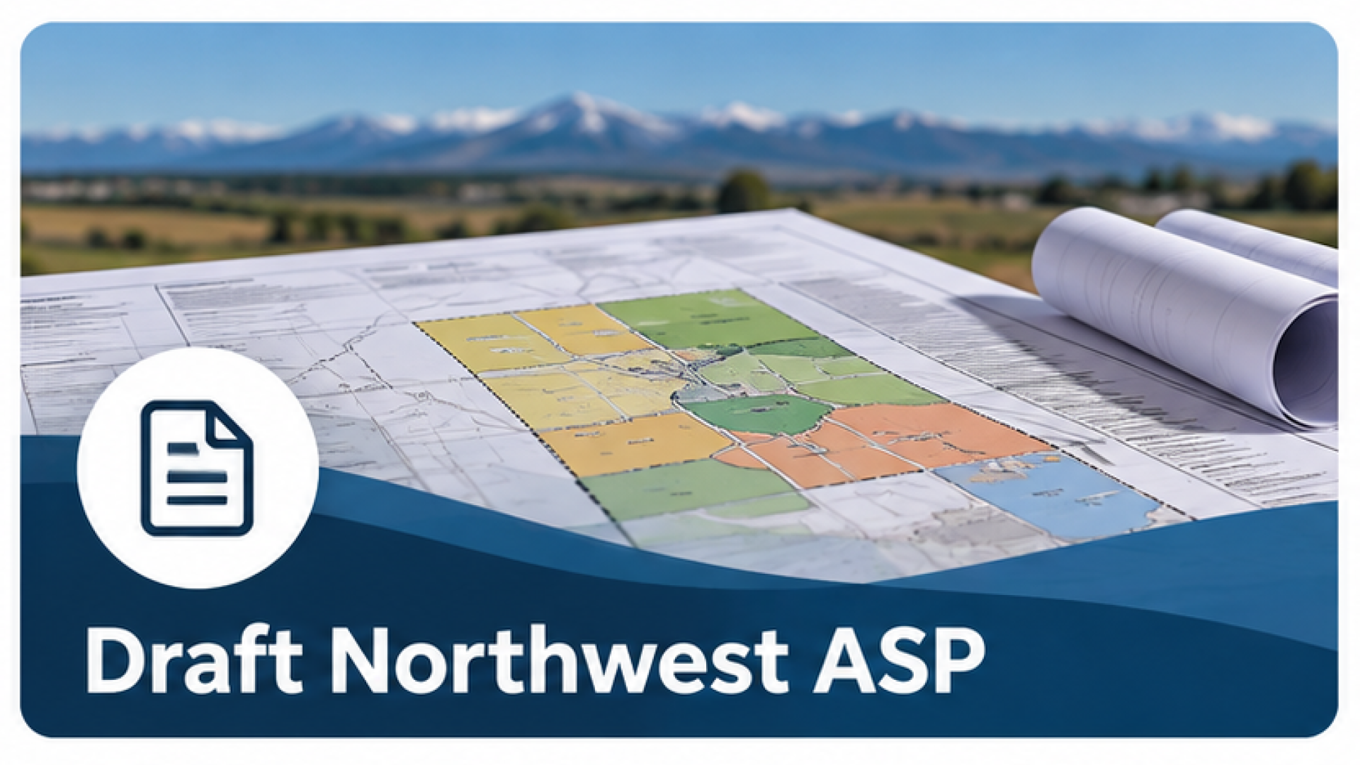
The Town of Nanton is developing a Northwest Area Structure Plan (ASP) to guide future growth and development in the northwest area of our community.
The proposed plan provides a long-term vision for a mix of housing, commercial opportunities, parks, open spaces and pathways while considering important infrastructure needs such as roads, water, sewer and stormwater management.
The draft Northwest Area Structure Plan remains available for public review, and we encourage residents to share their feedback.
Northwest Area Structure Plan – Public Engagement
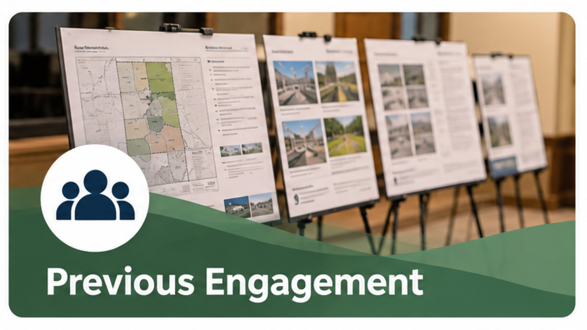
Thank you to everyone who attended the October 29, 2026, Public Open House and took the time to review the draft plan, ask questions and share their thoughts.
For those who were unable to attend, or would like to revisit the information presented, the Open House Information Boards are available below, along with the draft Northwest Area Structure Plan.
Although the Open House has concluded, there is still an opportunity to provide feedback before the plan is brought forward to Council for consideration.
An Area Structure Plan (ASP) is a long-term planning document that guides how an area may develop as a community grows.
The Northwest ASP covers approximately 185 acres (75 hectares) in northwest Nanton, generally between Township Road 163, the Westview neighbourhood, 26 Avenue and the MD of Willow Creek boundary.
The plan identifies proposed land uses, population densities, major roads, municipal services and the general sequence of future development.
An ASP does not approve development, change existing land use designations or require landowners to develop their properties. Instead, it establishes a planning framework to guide future decisions when development is proposed.
What Is Being Proposed?
The draft Northwest ASP considers a variety of land uses intended to support Nanton's long-term growth while maintaining the community's small-town character.
Housing Options - A mix of housing types, including low- and medium-density housing, higher-density residential areas and larger estate lots.
Commercial Opportunities - Areas for future commercial and mixed-use development to support local services, businesses and employment opportunities.
Parks and Pathways - Approximately 14 acres of proposed parks, trails, open spaces and stormwater ponds, with pathways connecting neighbourhoods.
Roads and Infrastructure - A connected road network with future improvements to water, sewer and stormwater infrastructure as development proceeds.
At full development, the plan area is estimated to accommodate approximately 1,272 to 1,646 residents. However, this growth would occur gradually over many years, based on landowner interest, development applications, market demand and available infrastructure.
Frequently Asked Questions
No. The ASP provides a long-term planning framework, not a construction schedule. Landowners are not required to develop or sell their properties, and any future development must go through additional planning, subdivision and approval processes.
There is no set timeline. Development is driven by landowners and developers and depends on market conditions and infrastructure availability. The proposed ASP anticipates gradual development over 50 years or longer.
The draft ASP identifies that the Town's current water licence and water treatment plant can support the expected demand from this area. While the wastewater treatment plant has capacity, some sewer pipes are undersized and a new sanitary trunk main will be required. Detailed servicing studies will be completed as future developments are proposed, taking other growth in Nanton into consideration.
Developers are responsible for infrastructure required by their developments. The Town may also consider grant opportunities, off-site levies or cost-sharing agreements to help facilitate improvements.
The baseball diamond site is identified for possible future redevelopment, including a potential road connection to Highway 2. There are no plans to redevelop the site at this time. Any future proposal would require further planning and consideration of recreation facilities, transportation and stormwater management
The ASP proposes a connected road network. Future development may require road improvements, including at the Highway 2 and 26 Avenue intersection. Traffic Impact Assessments will help determine what improvements are needed and when. The draft plan also contemplates changes to portions of Township Road 163 and 22 Avenue.
The ASP does not change existing land use designations or require any landowner to develop or sell. Existing approved uses can continue. Future changes to land use designations require a separate application and Council approval.
Future development may require a more detailed Outline Plan, land use redesignation, subdivision approval, detailed servicing and development permits. These processes provide opportunities for further review and, where required, public participation.
Attend the October 29 open house, speak with the planning team or submit questions and comments using the Town's online form. Comments on the draft plan will be accepted until November 9, 2026 and provided to Council before the bylaw adoption process begins.